
A Spectacular Experience
Your stay at Dumoine Lake Cottages will provide you with a once in a lifetime wilderness experience that you will never forget. Connect with nature and enjoy the incredible fishing and hunting on our private exclusive leased area.
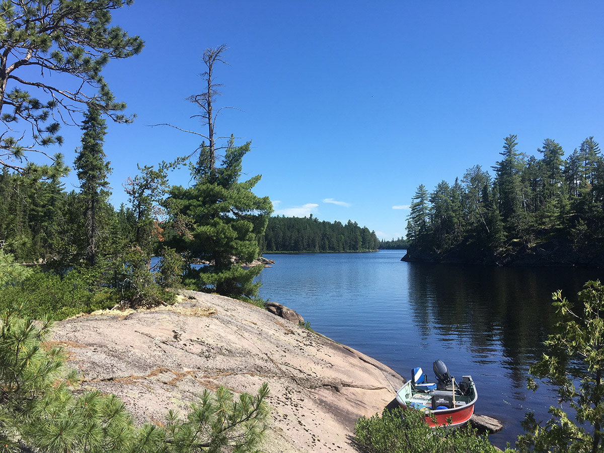
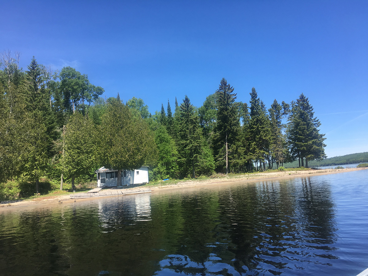
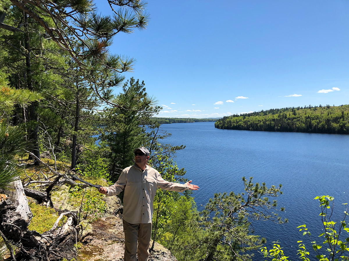
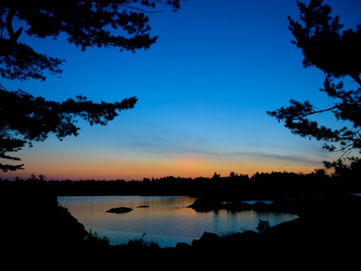
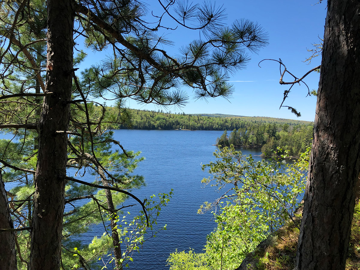
A Stunning Natural Paradise
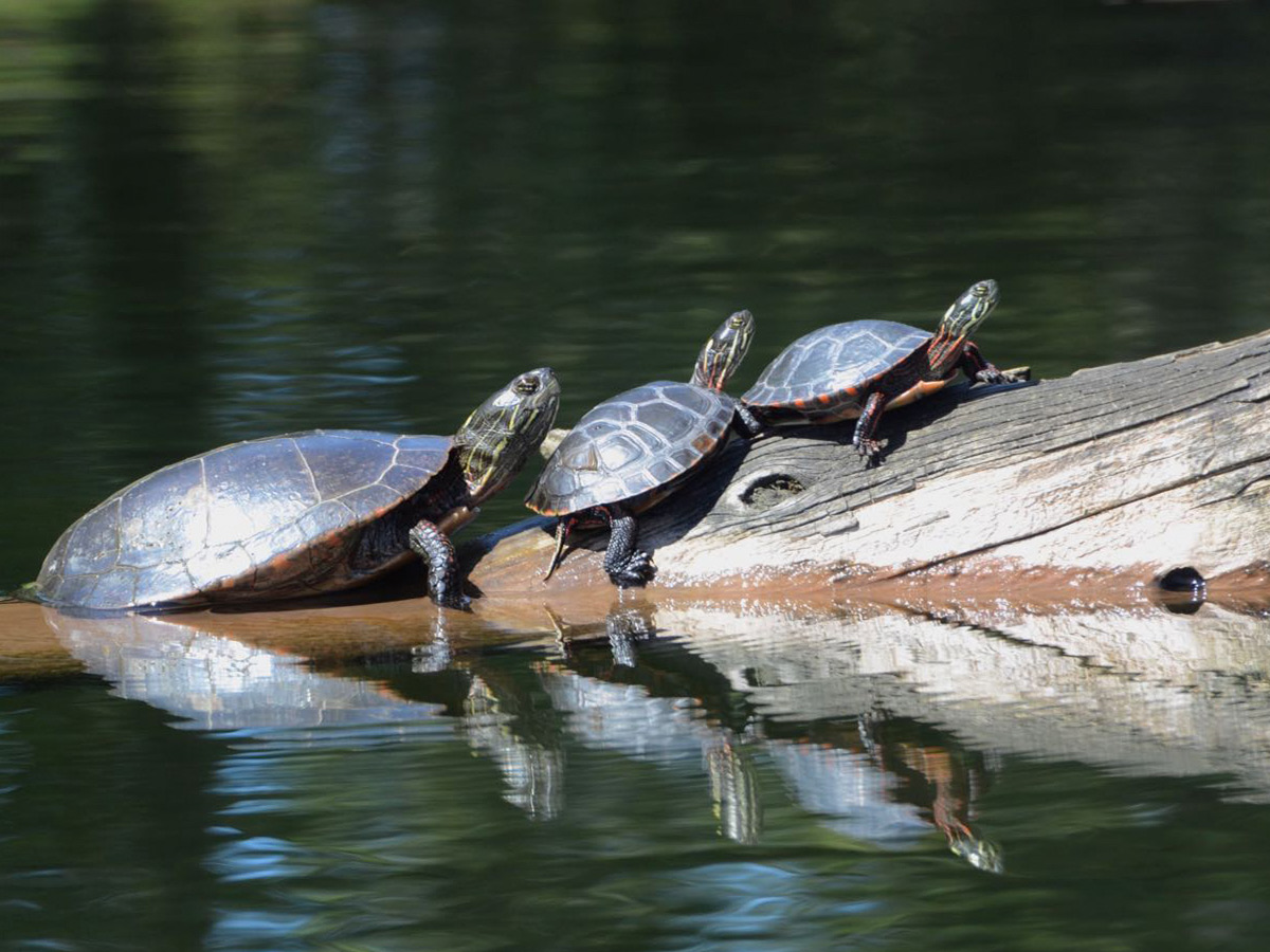
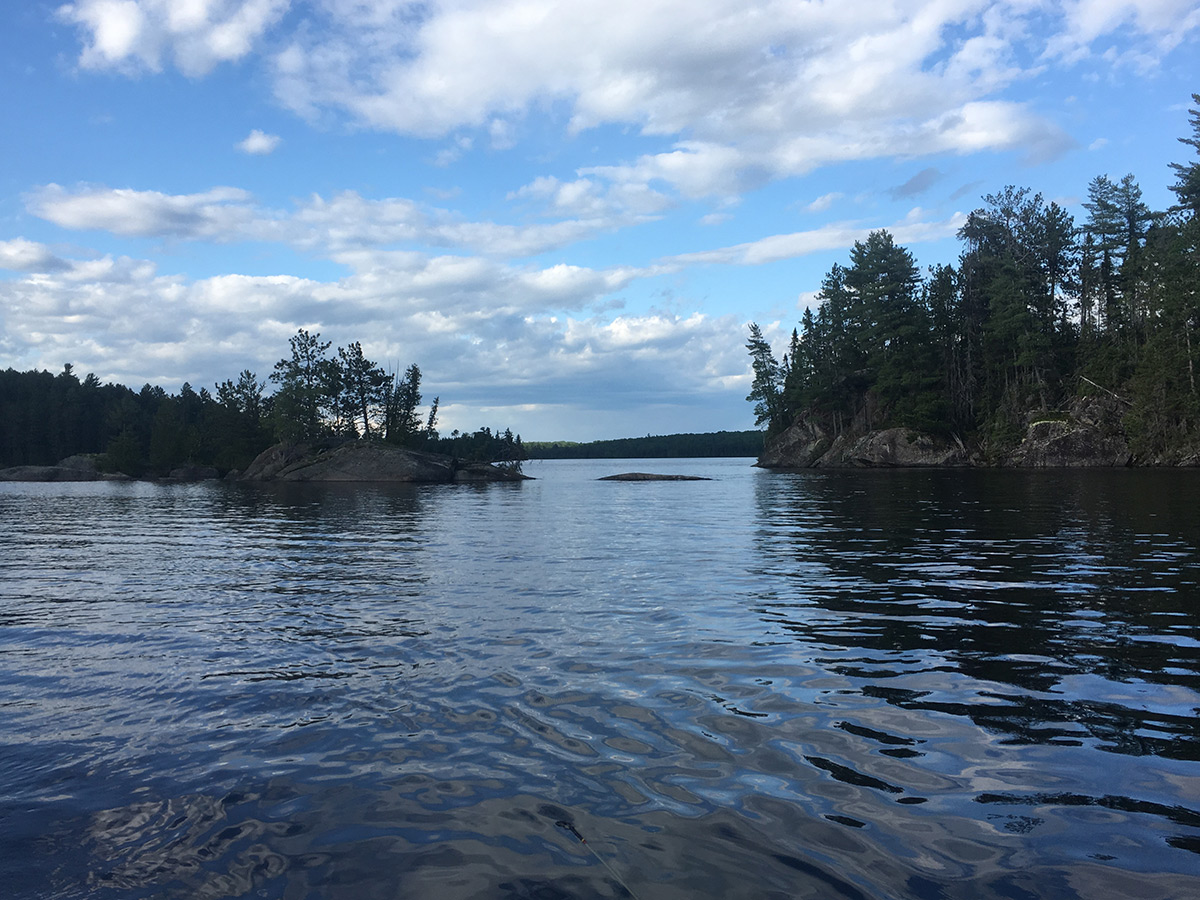
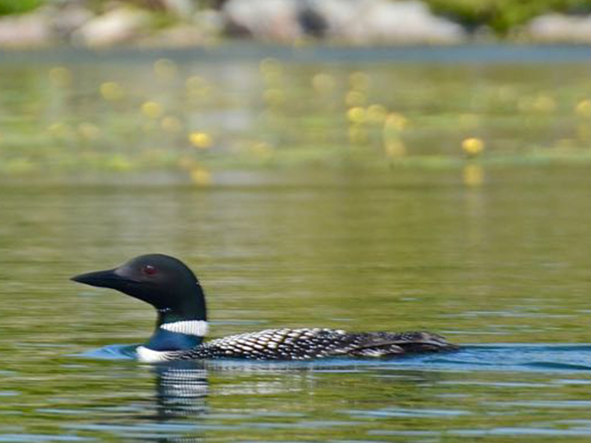
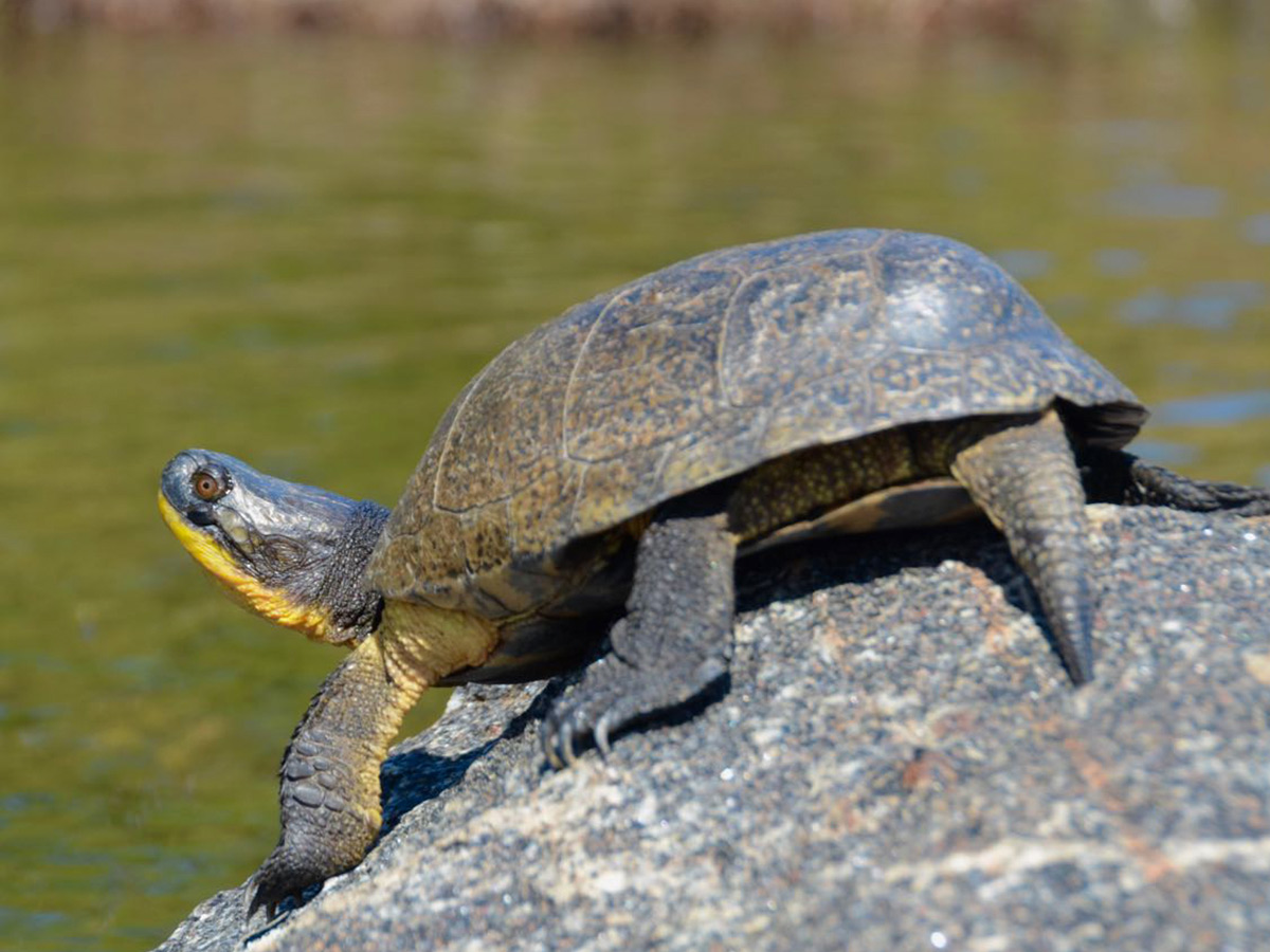
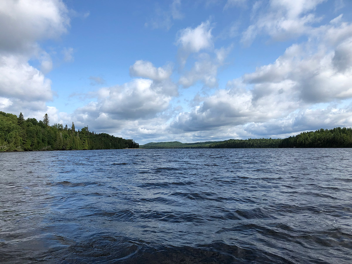
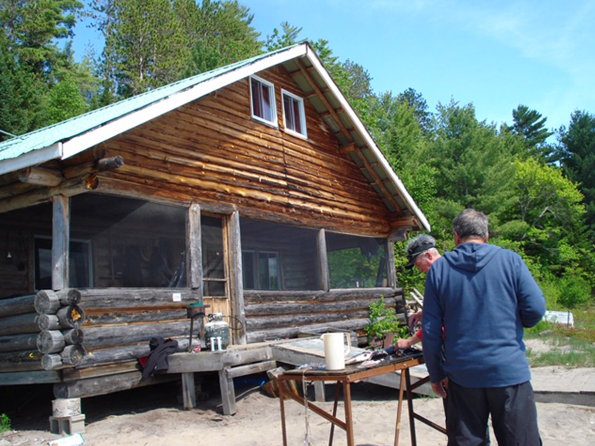
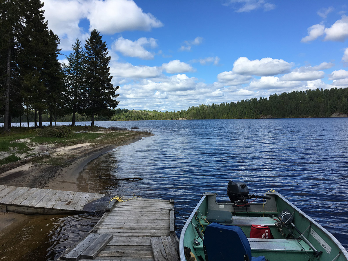
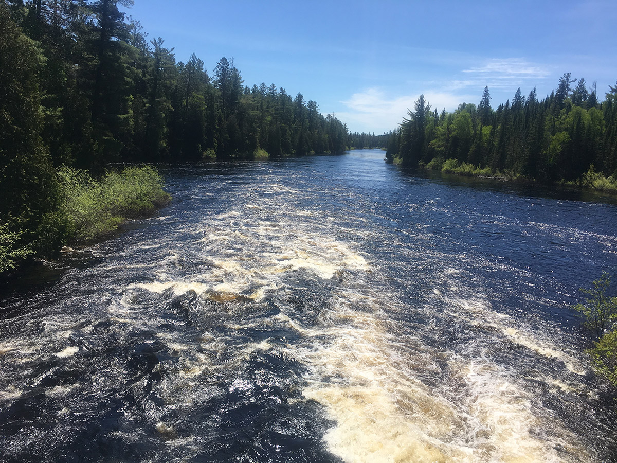
Experience one of the most pristine wilderness areas of Canada in South Western Quebec; just northeast of Ontario. Our 6 remote cottages are located on Dumoine Lake, 121 km east of the village of Kipawa, Quebec. The area is home to an array of wildlife and endless scenic views and makes for bountiful fishing and hunting.
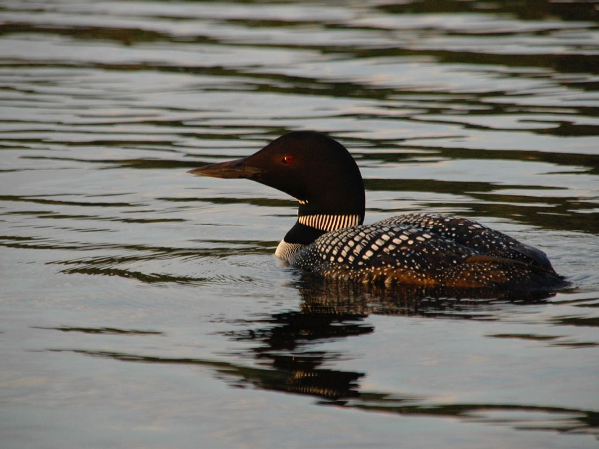
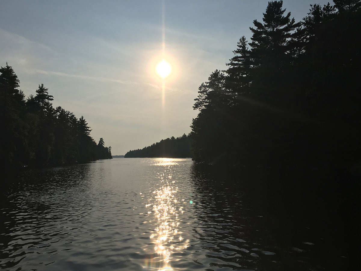
Our Breathtaking Area
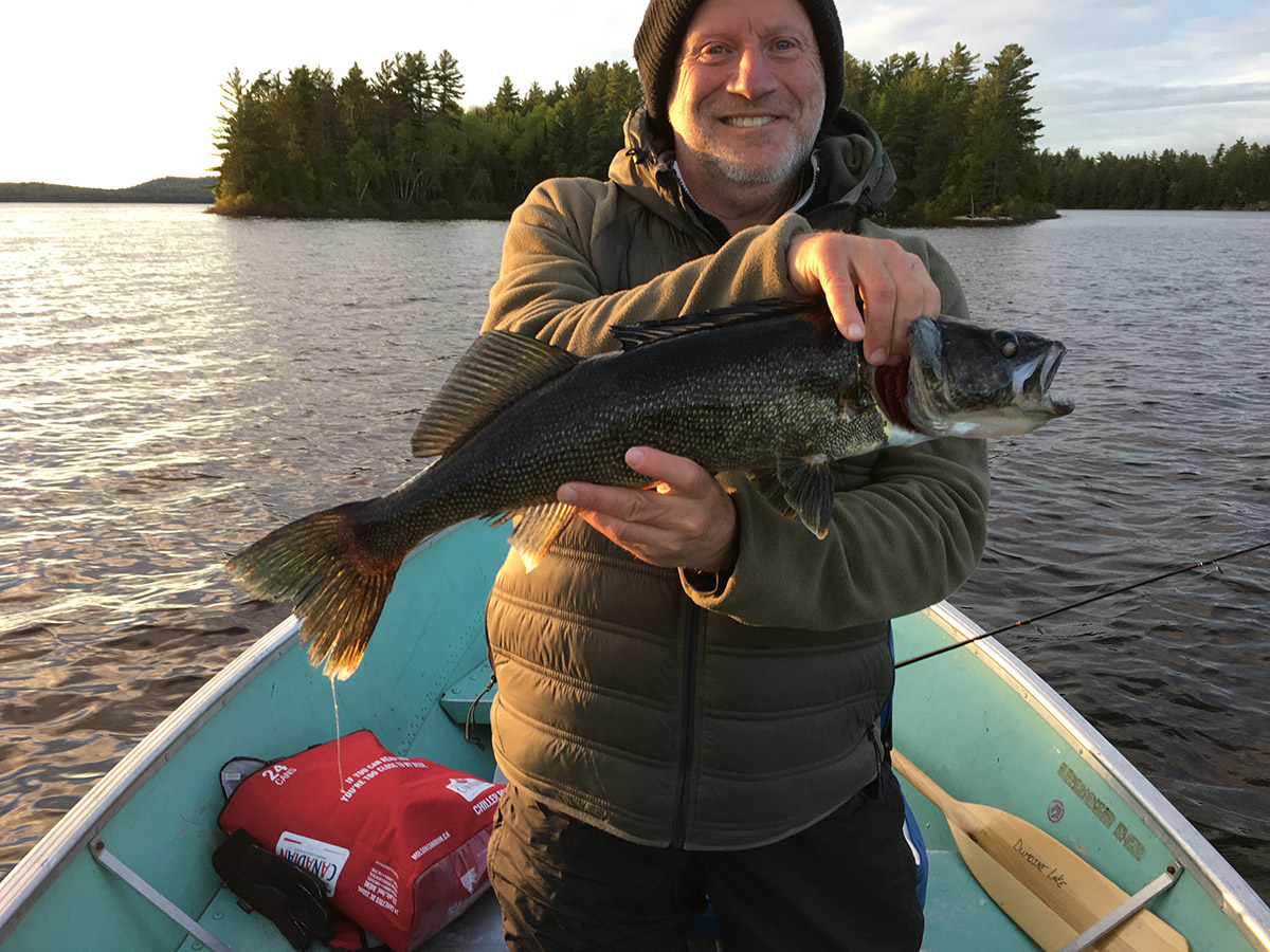
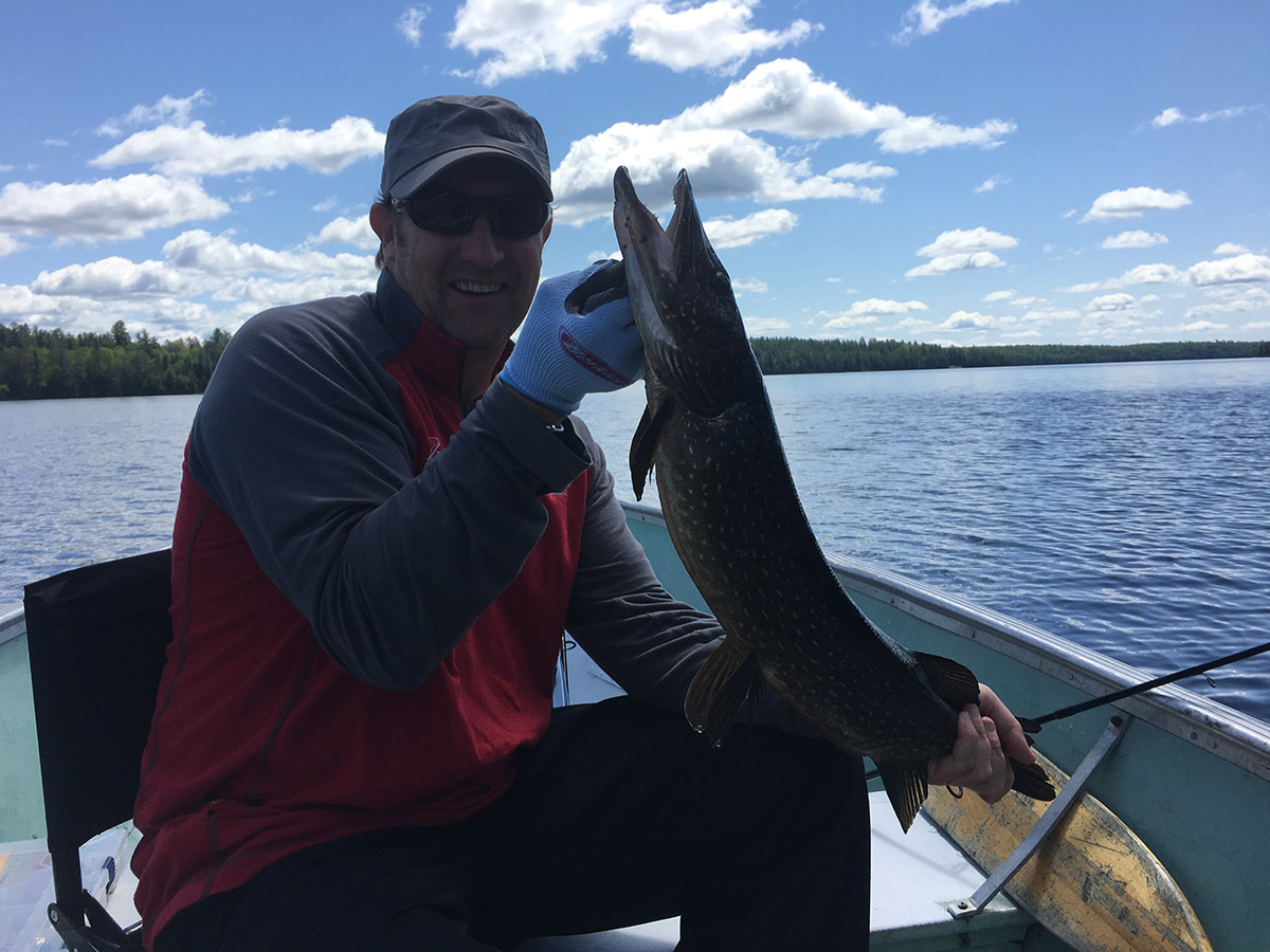
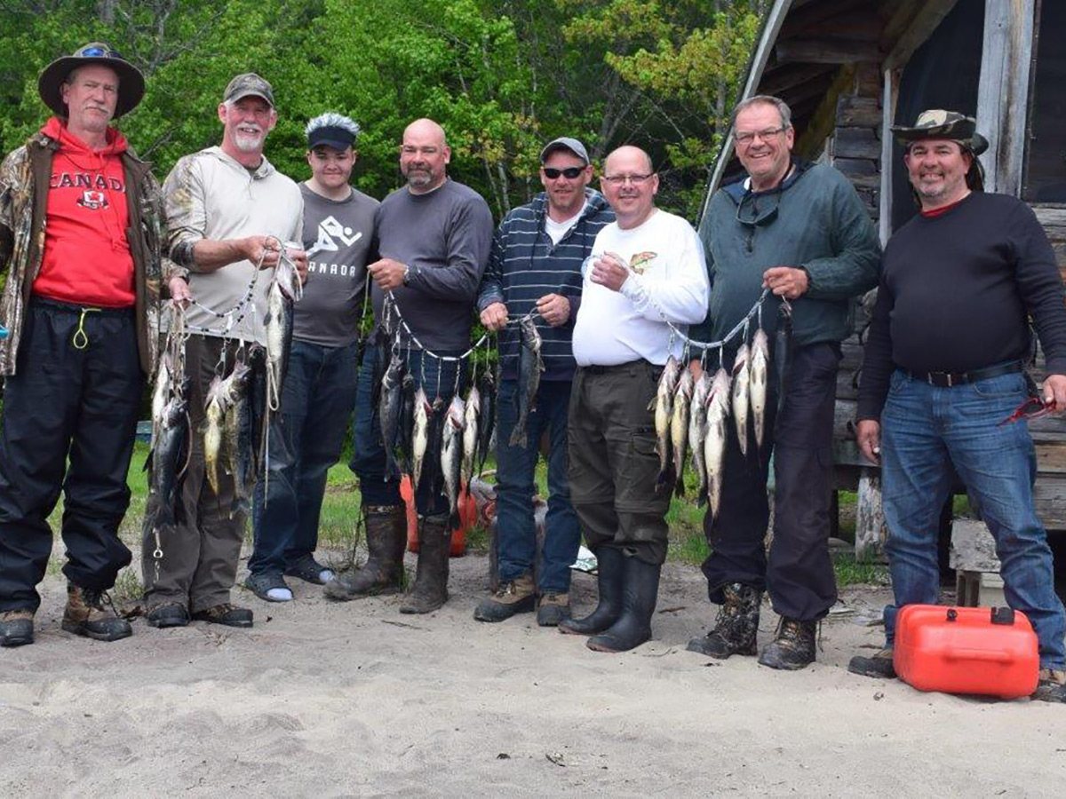
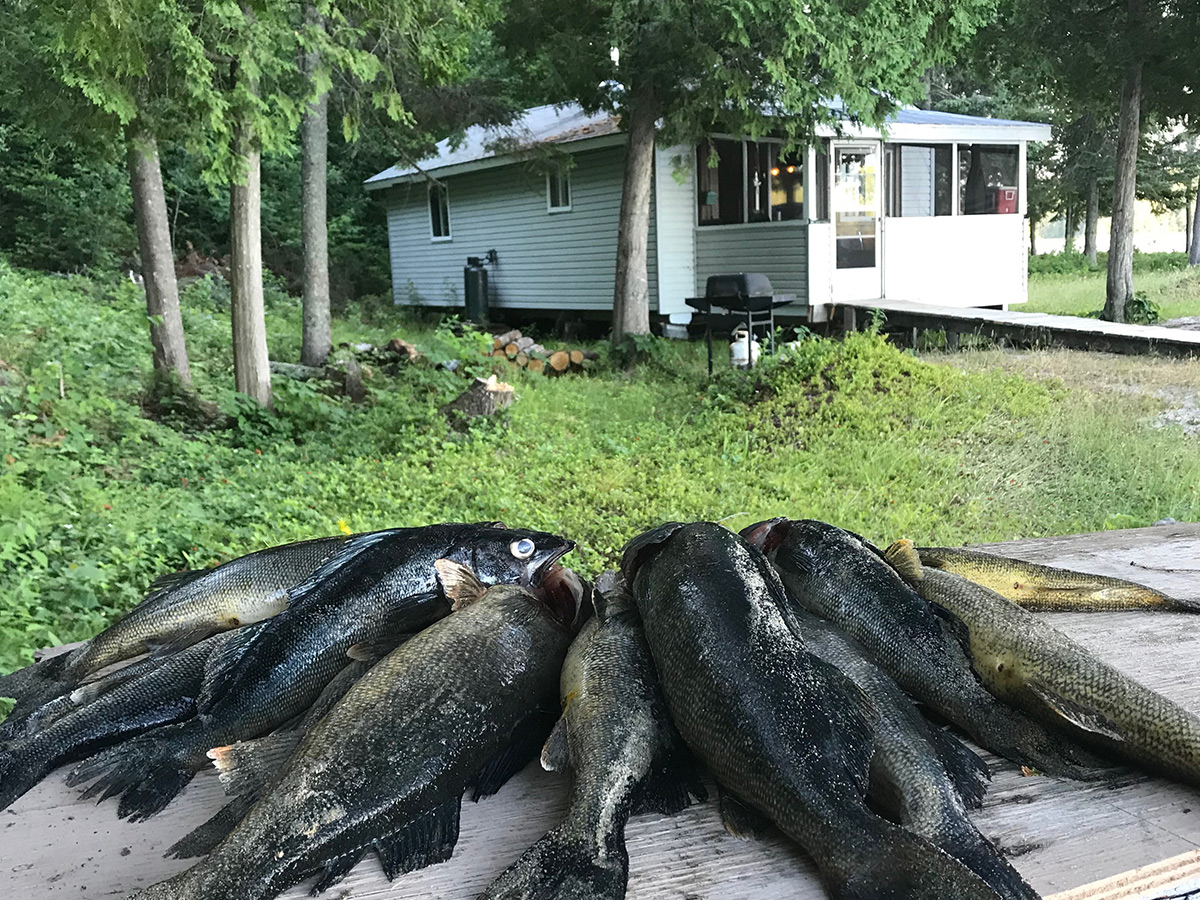

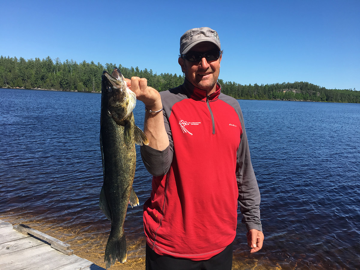

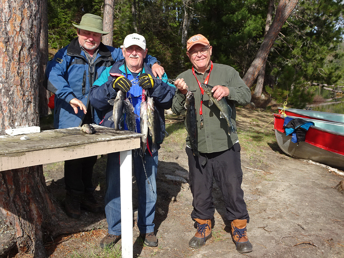
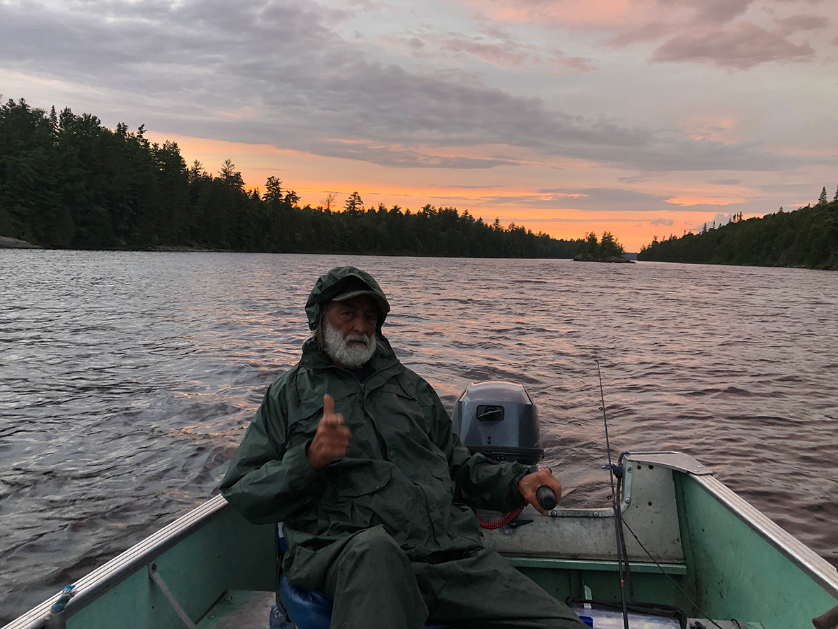

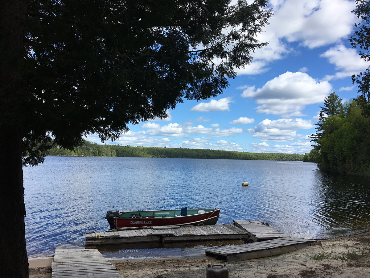


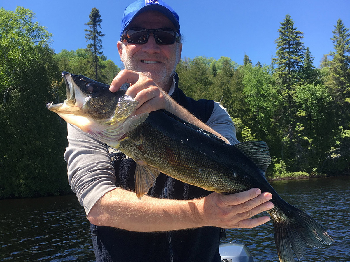
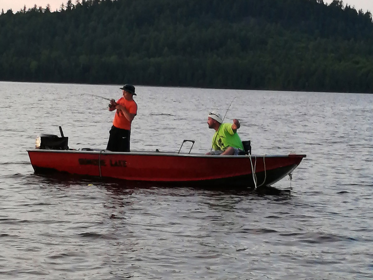

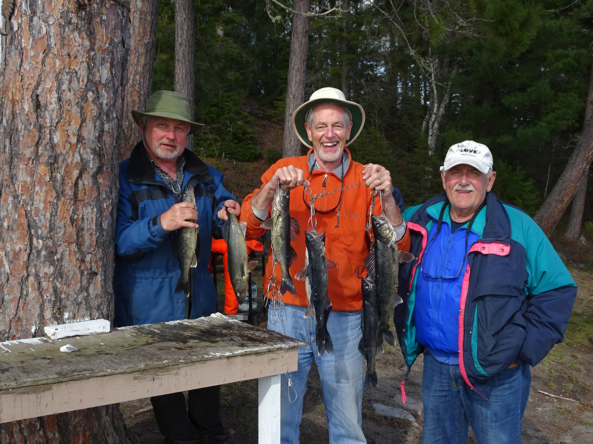
Fishing
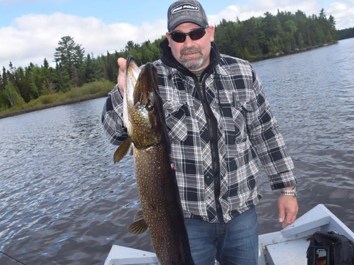
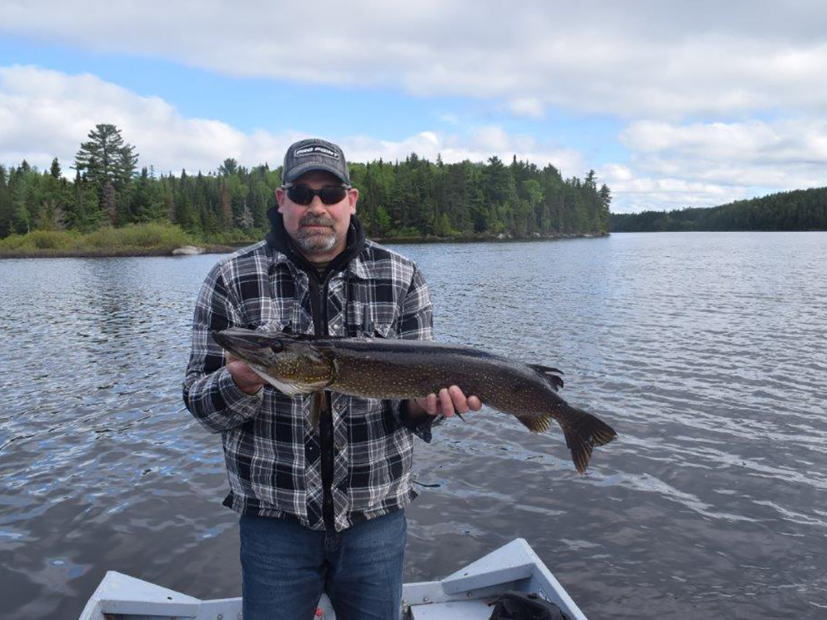
Walleye/Pickerel and Northern Pike
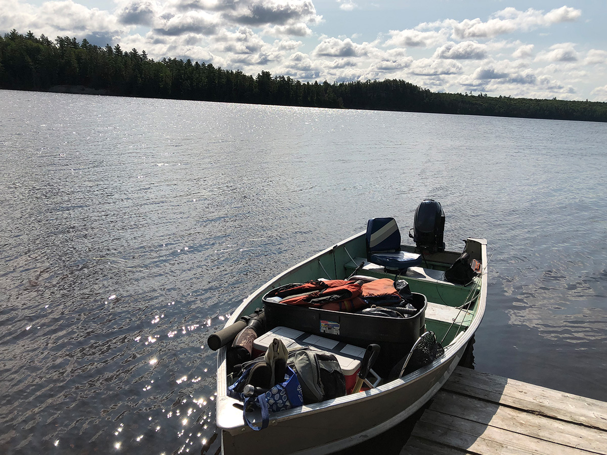
Quebec offers the most diverse and best fishing on the continent. Our area features a plentiful amount of Walleye/Pickerel and Northern Pike. Our waters are vast, and we have boat and engine rentals available. There’s nowhere more exciting to experience the thrill of fishing than on Dumoine Lake.
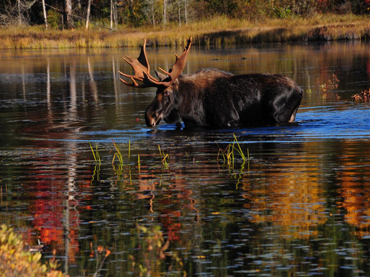
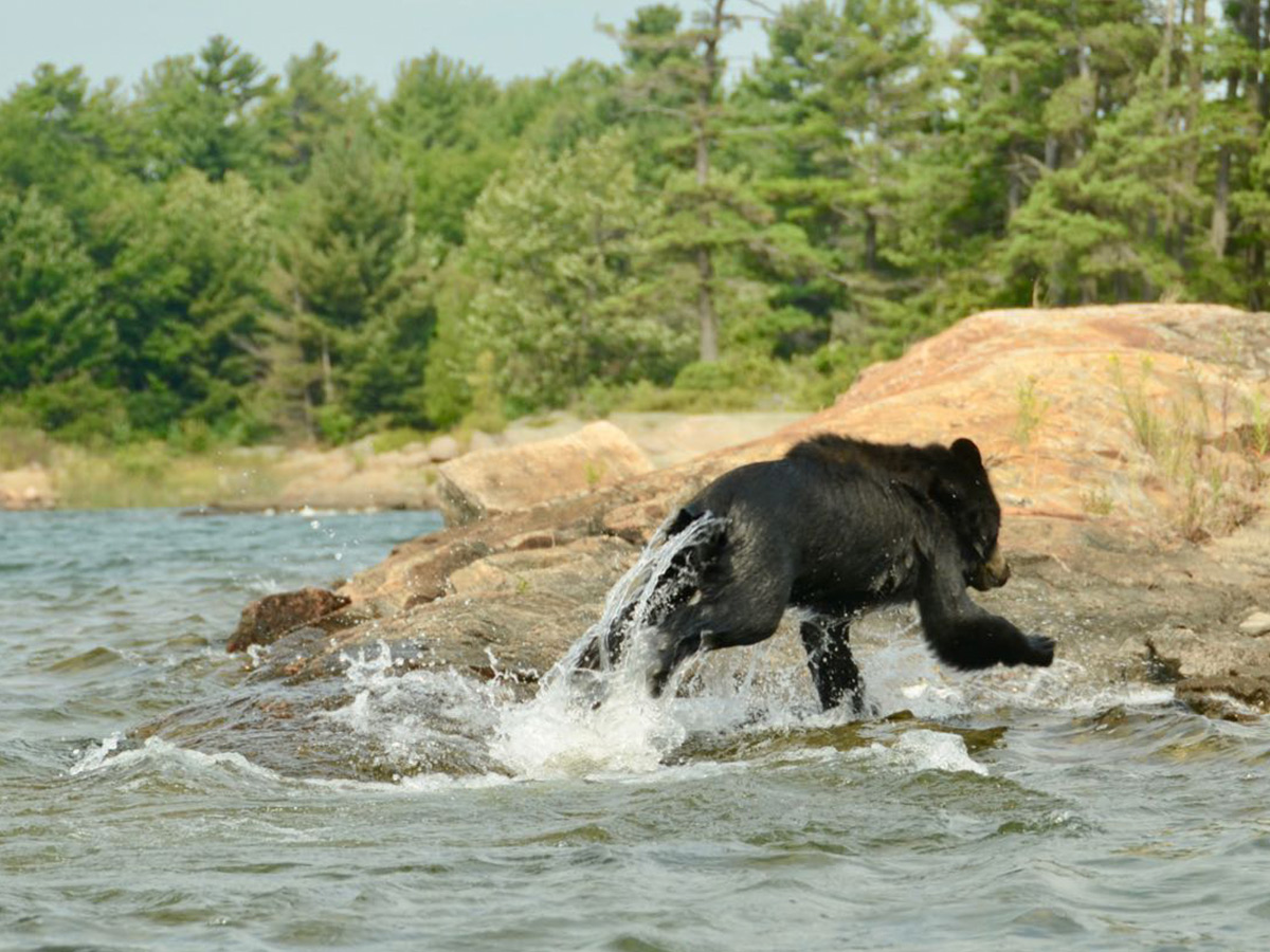
Hunting
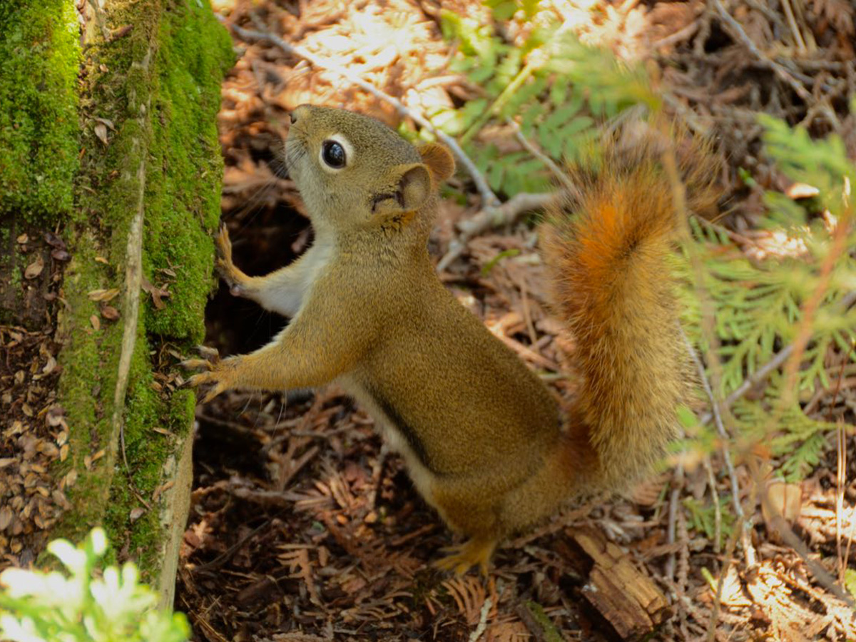
Black Bear, Moose and Small Game
Hunting is a game of chance, using ones instinct, knowledge and patience. Quebec is a hunter’s paradise, offering a rich and diverse ecosystem. Dumoine Lake is renowned for its hospitality and respect for the land. We offer an exclusive territory to challenge any hunter. You’ll find small game, black bears, partridges, ducks and more here.
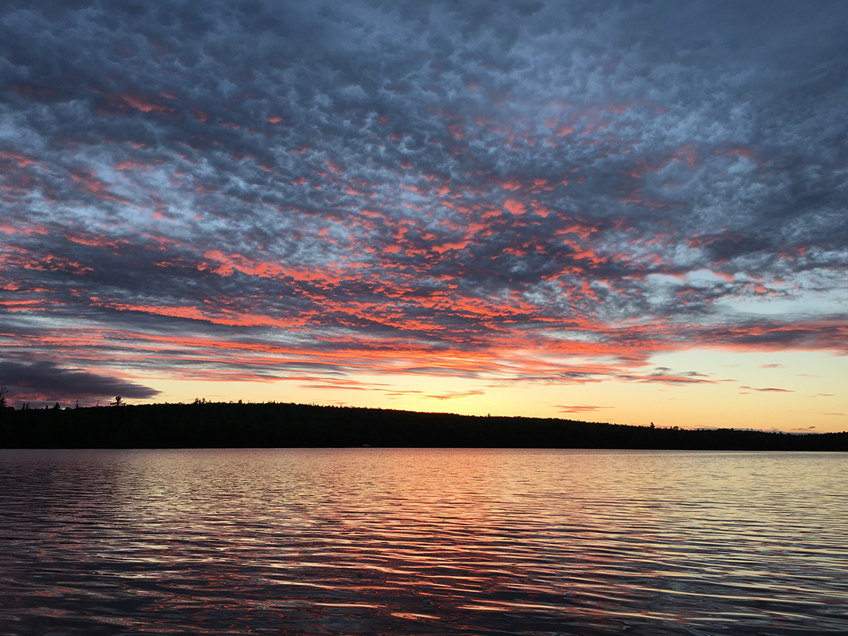
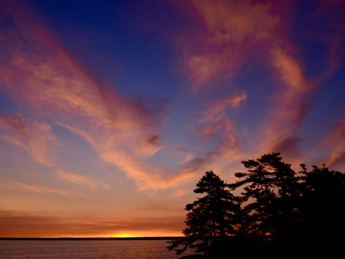
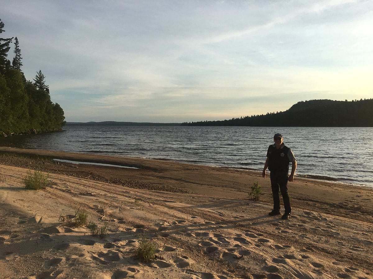
Relaxing
Scenic views at every turn
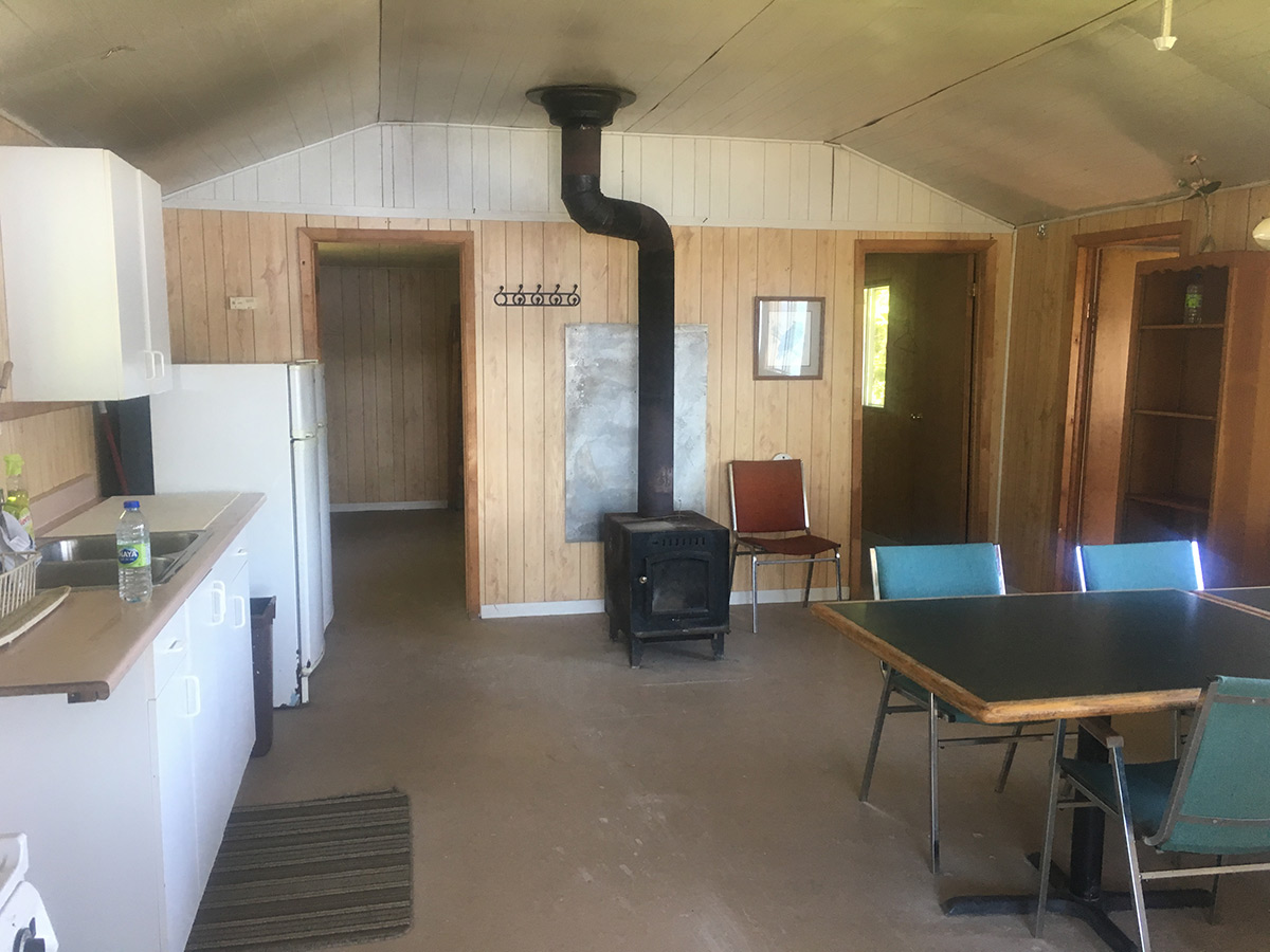
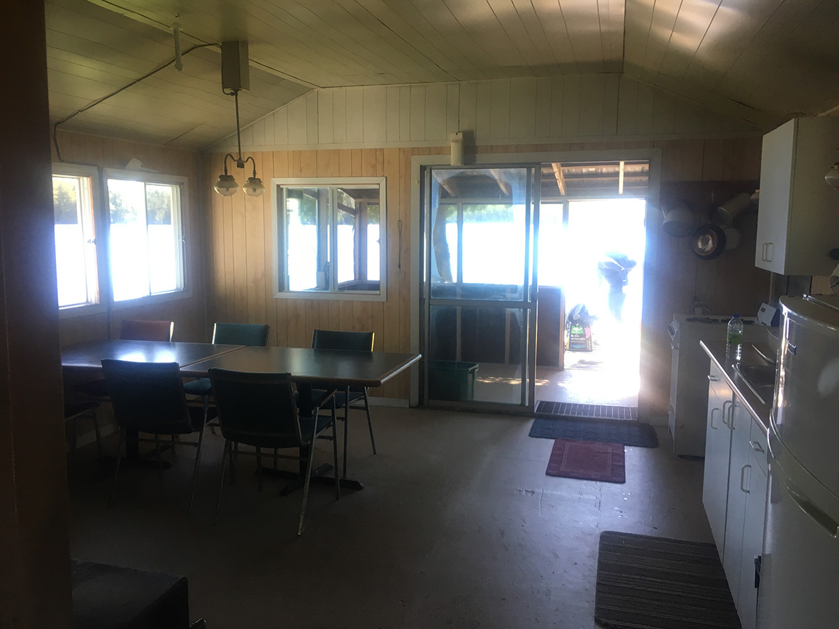
The blissful nature in our area is amazing, but don’t forget that your experience will be even more relaxing with our fully equipped cottages. All are equipped with hot and cold running water, refrigerators, showers and toilets, and all have a wood stove to keep warm on those chilly nights and fall days.